Drone Captures Images Of Ghost Town Unearthed By Drought
on Sep 21, 2021 • Updated Jan 15, 2025

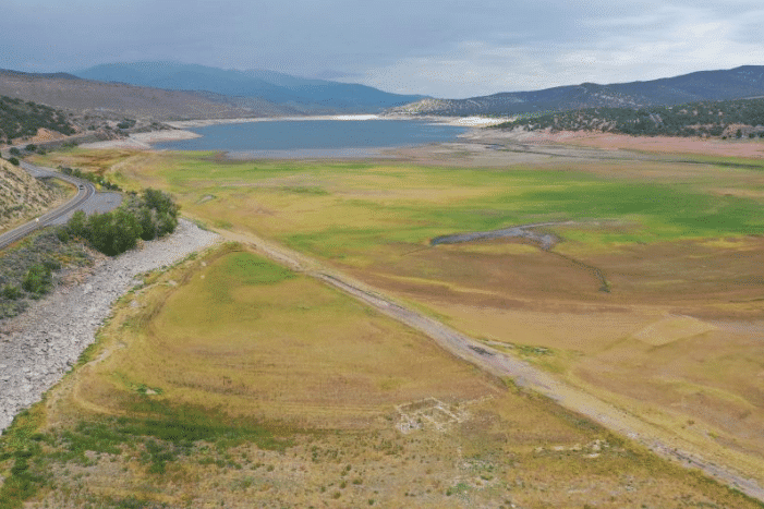
Reservoir levels in Utah have dropped drastically this year and the lack of moisture has caused some unexpected discoveries in areas normally covered by water.
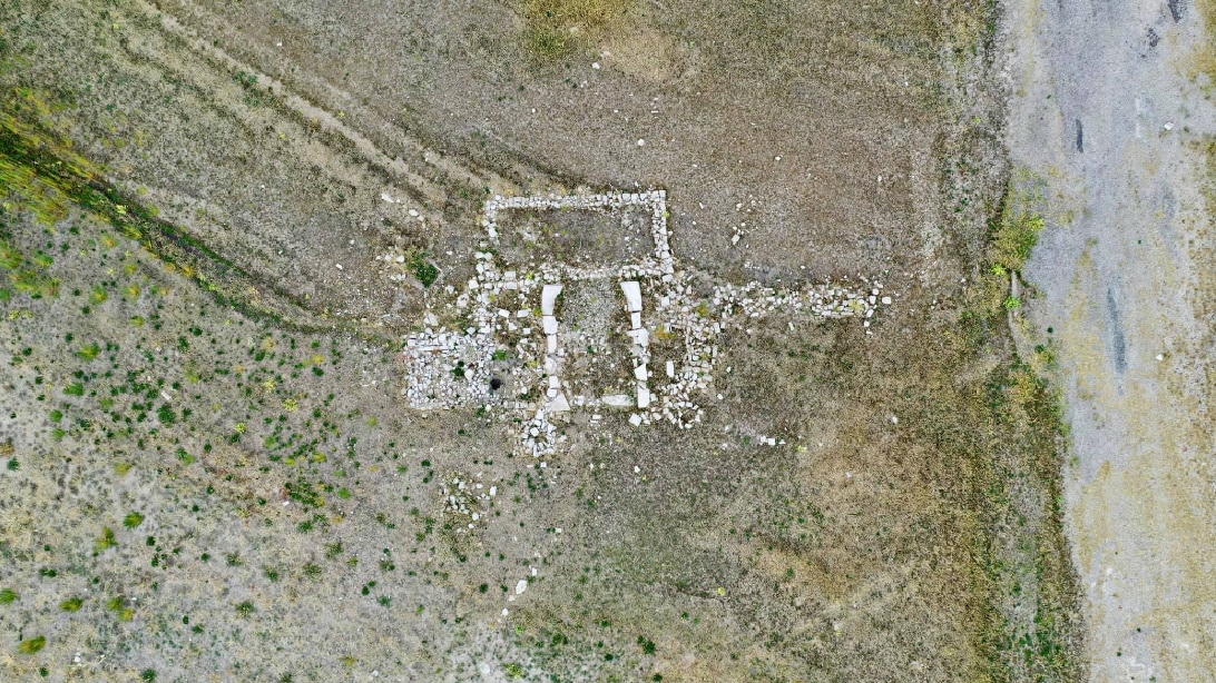
Water levels at Rockport Reservoir are now just a quarter of its total capacity. As a result, parts of a town that existed prior to the reservoir’s construction are now visible.
“It was really interesting to be standing at an overlook for the reservoir and to see faint traces of foundations of old homes and a road all below where the water would normally be,” said Devon Dewey, a drone operator who recently filmed captivating images of the ghost town.
“The whole area is pretty flat and uniform, so even though the foundations are old and mostly gone, you can still see them clearly if you know where to look,” he added. “Using a drone to get a higher perspective helped to see where structures once stood over 70 years ago.”
The town of Rockport was first settled in 1860 and was called by other names such as Crandall and Enoch City. The once-thriving town of settlers saw its population fluctuate as many fled the area in 1866 due to the Blake Hawk War. Historians noted that many later returned to the town and built a large wall around it as protection against any future wars. It was at that time that the town was renamed Rock Fort.

When the war ended in the 1870s, the wall was torn down and the materials were used for other building purposes. The town also got another new name…Rockport. It is recorded that the town never grew to be more than 200. When the federal government chose the area to build the Wanship Dam in the early 1950s, roughly 27 families still lived there.
By 1957, everything but a few buildings that were removed and preserved were submerged by the 156-foot tall and 2,010-foot wide dam. Check out the images captured by the drone of the newly exposed ghost town in the clip below.


